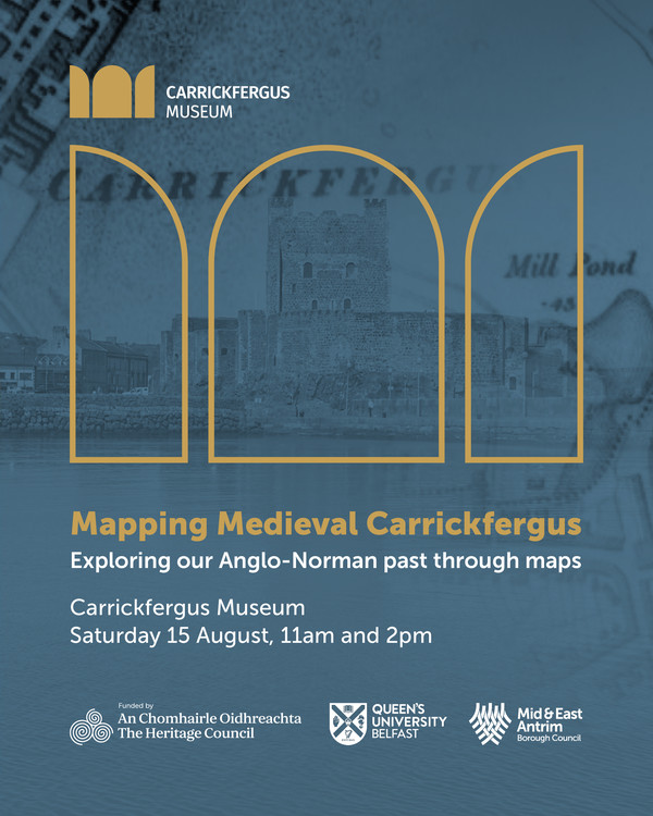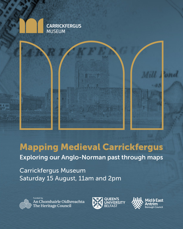
Mapping Medieval Carrickfergus
Carrickfergus Museum and Civic center
11 Antrim St
Carrickfergus
Co. Antrim
BT38 7DG
Saturday 15thAugust
Mapping Medieval Carrickfergus
Exploring the town's Anglo-Norman past through maps and mapping
11am and 2pm, Carrickfergus Town Hall
This one-day event includes a morning 'mapping workshop' for a hands-on session where participants will get a chance look at the development of a new online map application being made, and to help offer feedback on using it to explore the development of Carrickfergus across the centuries.
In the afternoon, a public lecture on 'Mapping our Anglo-Norman Towns' will be given by geographer Professor Keith Lilley from Queen's University Belfast. The lecture will be highly illustrated and will include Carrickfergus and other Anglo-Norman towns as examples, as well as a Q&A.
This project is made possible by funding by the Heritage Council which will see the creation of a new online digital map showing Carrickfergus as it was circa 1250.The map will be pieced together from different sources including archaeology and historic maps.
To take part in the 11am testing session please contact T: 028 93358241 or E:carrickfergusmuseums@midandeastantrim.gov.uk
Places are limited
To book your free place for the public lecture at 2pm please book tickets below
Approximate Run Time - 1 Hour
Event Suitable For - All Ages
Entrance Fee
£0.00